
Flood Insurance Rate Maps (FIRM)
Flood Insurance Rate Maps are produced by the U.S. Federal Emergency Management Administration. The FEMA Map Service Center provides access to some of the maps online as well as other information about what is available.
The IUB Libraries received the flood maps in print or microfiche for areas in Indiana through the Federal Depository Library Program until the late 1990's. The libraries also received CD-ROM products. Links to the maps from these CD-ROM products for Monroe County/Bloomington are provided below. For other questions related to FIRM consult the staff in the Government Information, Maps, and Microform Services Department located in the Wells Library.
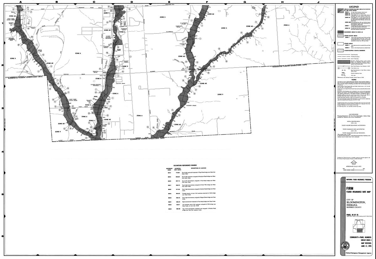
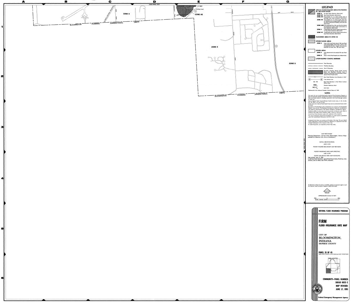
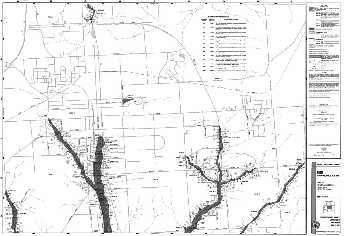
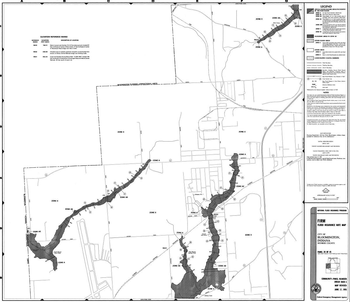
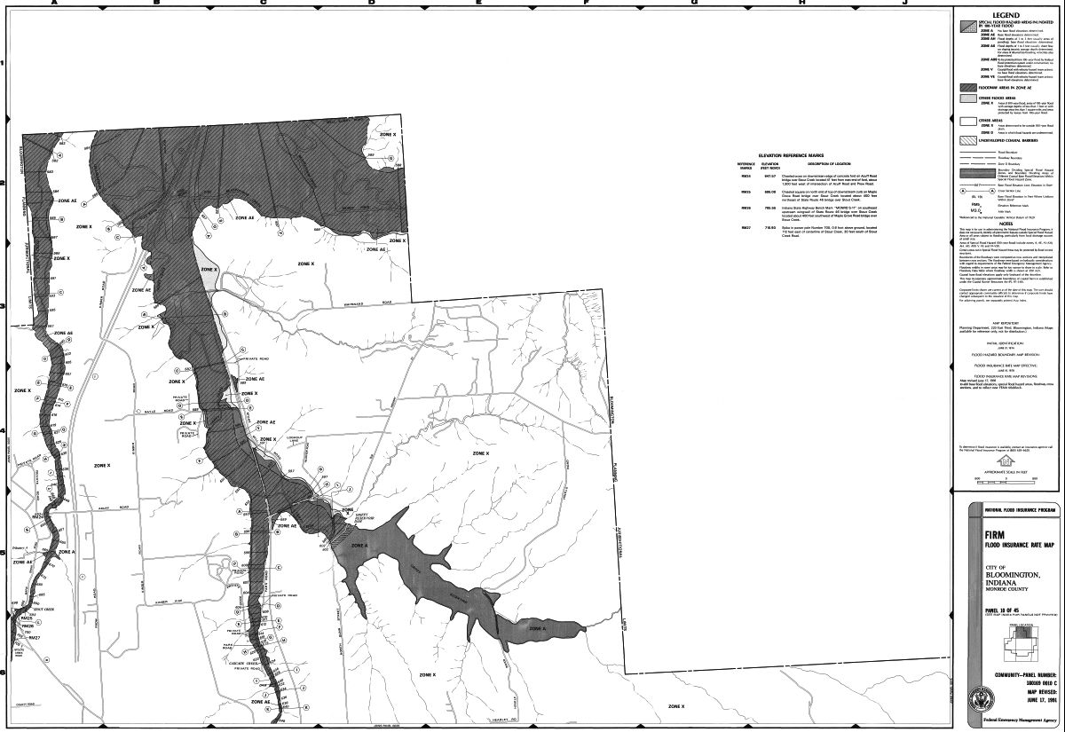
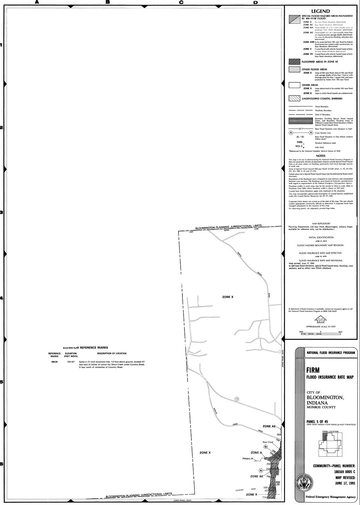
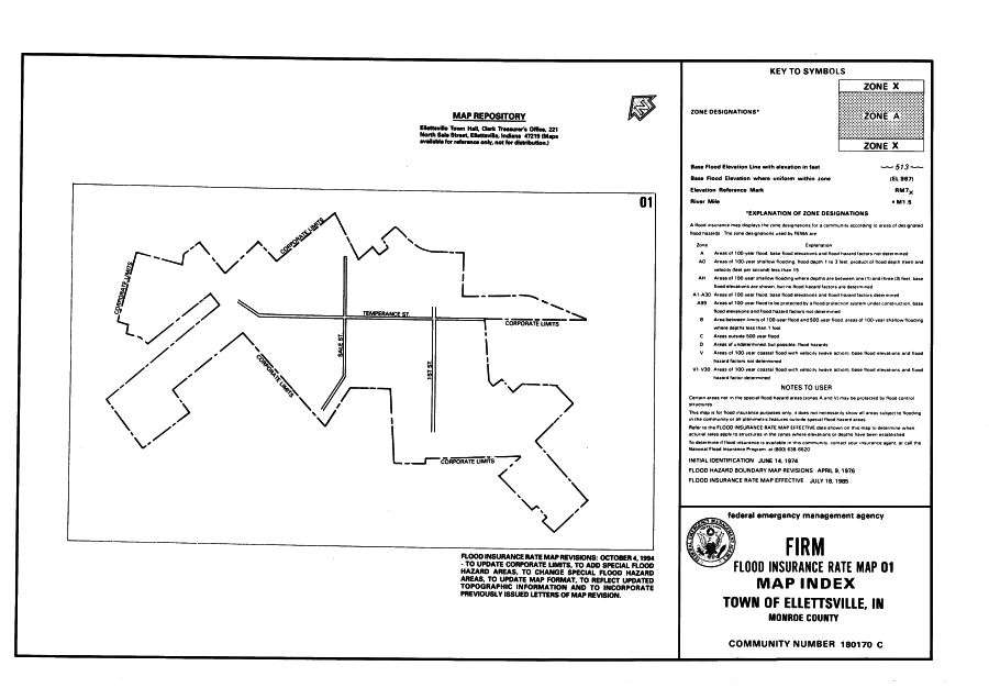
The most widely distributed flood map product is the Flood Insurance Rate Map (FIRM). Flood risk information presented on FIRMs is based on historic, meteorological, hydrologic, and hydraulic data, as well as open-space conditions, flood control works, and development. To prepare FIRMs that illustrate the extent of flood hazard in a flood prone community, FEMA conducts engineering studies referred to as Flood Insurance Studies (FISs). Using information gathered in these studies, FEMA engineers and cartographers delineate Special Flood Hazard Areas (SFHAs) on FIRMs. SFHAs are those areas subject to inundation by a flood that has a 1-percent or greater chance of being equaled or exceeded during any given year. This type of flood is referred to as a base flood. A base flood has a 26-percent chance of occurring during a 30-year period ... the length of many mortgages. The base flood is a regulatory standard used by Federal agencies, and most states, to administer floodplain management programs, and is also used by the National Flood Insurance Program as the basis for insurance requirements nationwide.
A variety of information can be found on FIRMs, including:
- Common physical features, such as major highways, secondary roads, lakes, railroads, streams, and other waterways
- Special Flood Hazard Areas
- Base (1 percent annual chance) flood elevations or depths
- Flood insurance risk zones
- Areas subject to inundation by the 0.2 percent annual chance flood
- Areas designated as regulatory floodways
- Undeveloped coastal barriers
Flood insurance information can also be located in Flood Insurance Study Bloomington Indiana/ Monroe County from 1977 (call number HH 10.9: B 62/6) or Floodway: Flood Boundary and Floodway Map (call number HH 10.9: An 2/5). These publications were produced by the United States Department of Housing and Urban Development. Flood Insurance Rate Maps can be located in three different locations in Government Publications: Housing and Urban Development (HUD), Federal Emergency Management Agency (FEMA) and Homeland Security (HS). Each agency has been in charge of Flood Insurance Rate Maps in the last 30 years.
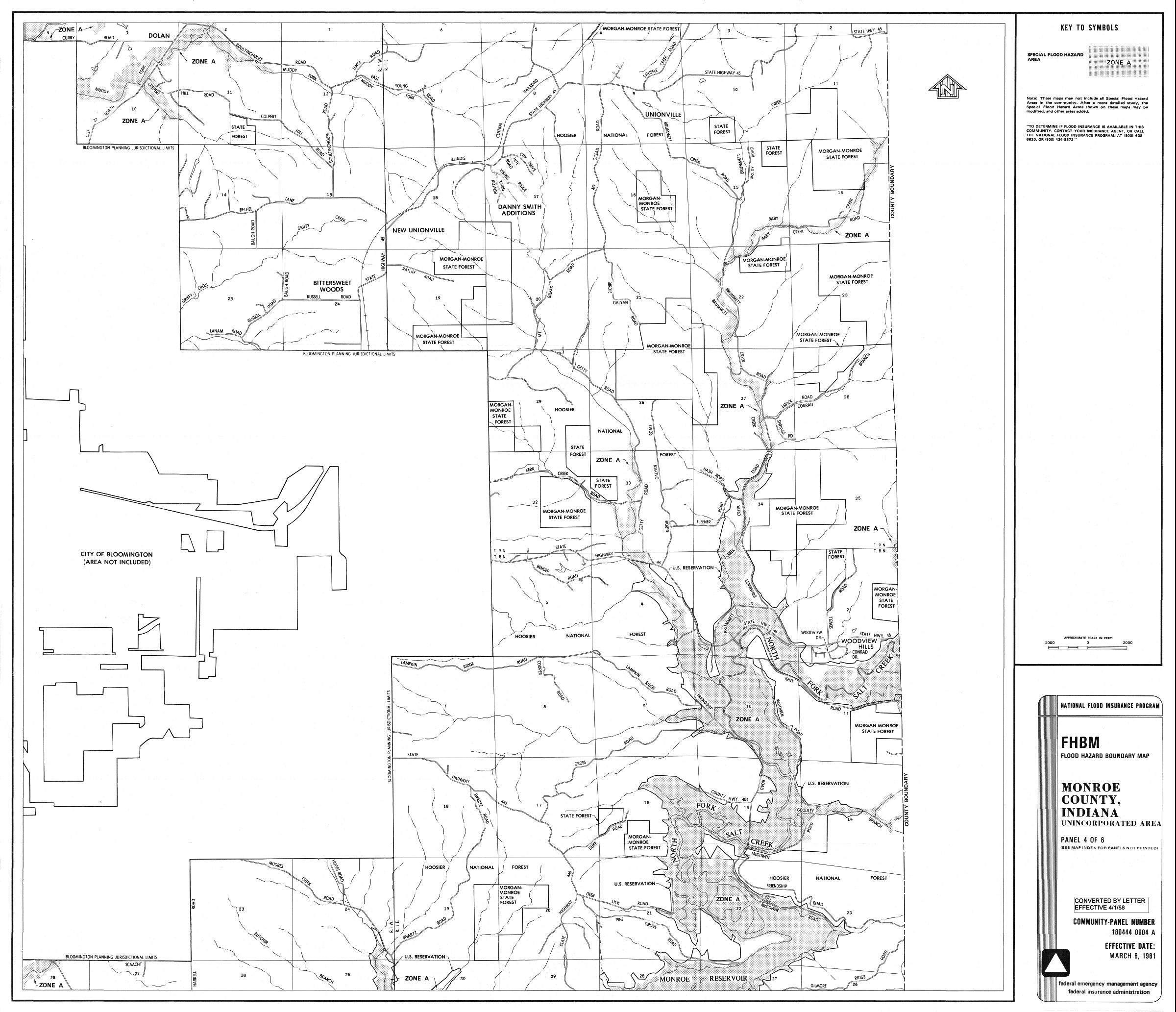
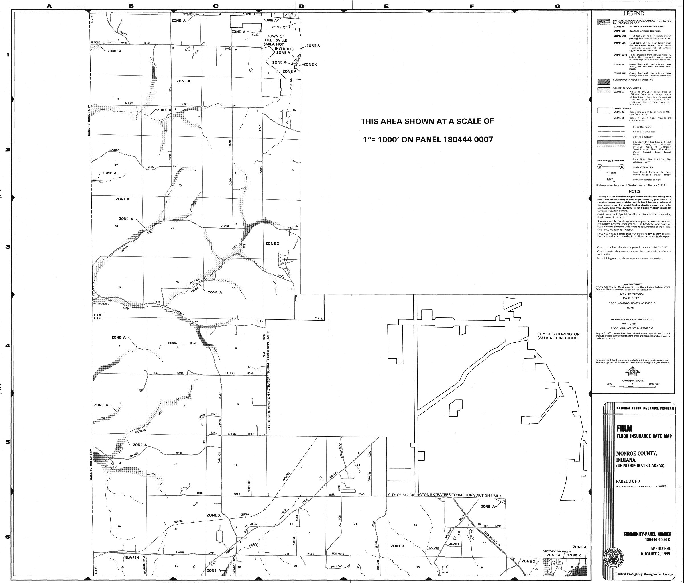
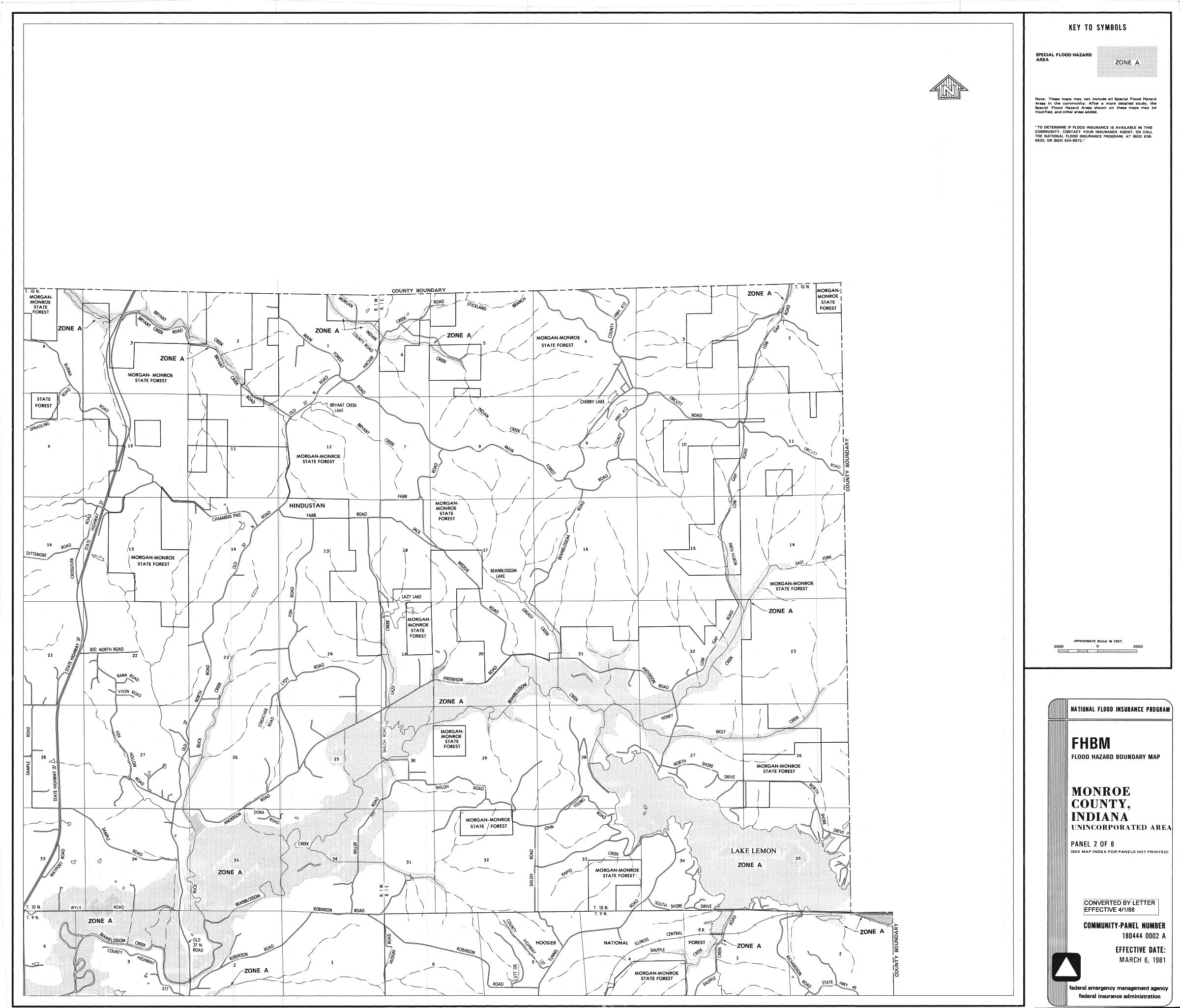
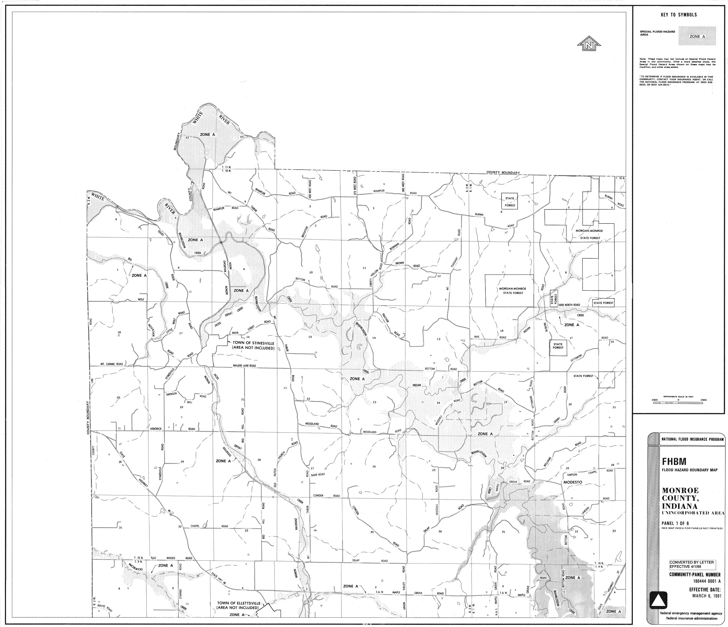
MONROE COUNTY INDIANA
The following Monroe County, City of Bloomington and Town of Ellettsville Flood Insurance Rate Maps are provided with links for your convenience. Historical print or microfiche copies of earlier information is available in Government Information, Maps and Microform Services on the 2nd floor of the Wells Library. Check IUCAT for specific holdings. For instance, Flood Insurance Study: City of Bloomington, Indiana, Monroe County, December 1977. U.S. Department of Housing and Urban Development, Federal Insurance Administration. HH 10.9:B 62/6. On microfiche only: Flood Insurance Study: Monroe County, Indiana (Unicorporated Areas), Community Number 180444. August 2, 1995. U.S.Federal Emergency Management Agency. FEM 1.209/14: 180444.
On CD 2:
Monroe County * 180444IND0
Monroe County * 1804440007C
Monroe County * 1804440006B
Monroe County * 1804440005B
Monroe County * 1804440004B
Monroe County * 1804440003C
Monroe County * 1804440002B
Monroe County * 1804440001B
On CD 4:
City of Bloomington/Monroe County * 180169IND0
City of Bloomington/Monroe County * 1801690040C
City of Bloomington/Monroe County * 1801690035C
City of Bloomington/Monroe County * 1801690025C
City of Bloomington/Monroe County * 1801690020C
City of Bloomington/Monroe County * 1801690010C
City of Bloomington/Monroe County * 1801690005C
Town of Ellettsville * 180170C
See other Indiana Guides.
Return to Government Information, Maps, and Microform Services.
Location: