
If you have driven on the 45/46 bypass any time in the last two years it's likely you have noticed the massive construction project that will be the IU Health Bloomington Regional Academic Health Center. While the new facility will "bring together multiple medical specialties and outpatient services into one convenient setting", you may be wondering what will happen to the old IU Health Bloomington Hospital at 601 W 2nd Street:
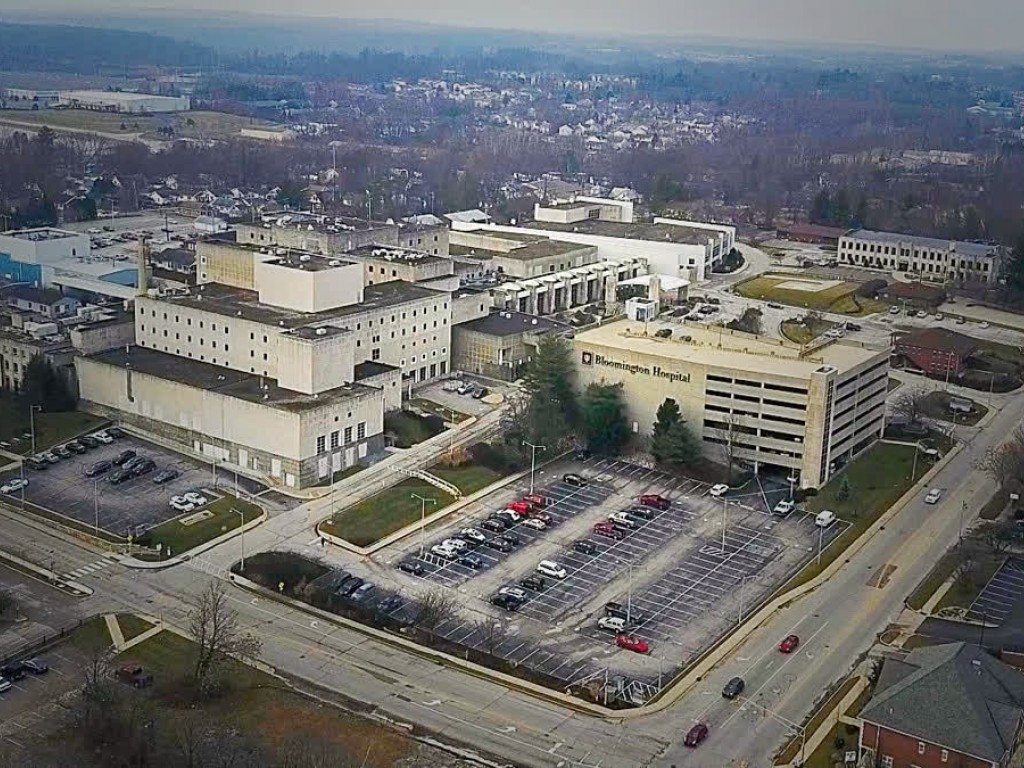
The City of Bloomington tapped the Urban Land Institute to examine the 24-acre Bloomington Hospital site and to propose recommendations for redevelopment strategies and land use opportunities. In the ULI Advisory Service Panel Report, two adjoining historic residential neighborhoods (McDoel Gardens and Prospect Hill) are cited as being important considerations in the redevelopment of the area. According to the ULI report:
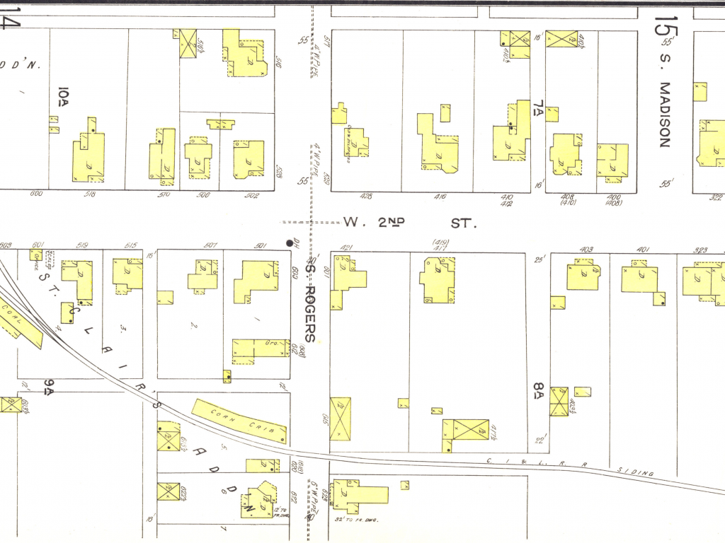
"The McDoel Gardens and Prospect Hill neighborhoods were developed on a grid of streets and blocks that was discontinued when the hospital was built. After removal of the hospital buildings, the grid pattern should be reintroduced to the development area, creating developable blocks of about five acres. Coupled with the recommended scale of development, this grid pattern will seamlessly reintegrate the site into the broader community."
This reference to the historic grid of streets and blocks is supported by an inset map from our very own Indiana Maps Collection, specifically one of the Sanborn Map Company's fire insurance maps. This report is a wonderful example of a practical research application of these kinds of historical maps. Here's another Sanborn map, showing what the current hospital area at Second and Rogers looked like in 1913:
The City of Bloomington is currently seeking prospective master planning and design teams. Bidding for the project closed today, December 19.